⚓ For Canadian & US boaters

Know your channel,
wherever you are.

MarineRadioMap is the essential VHF radio reference for boaters. Open the app and instantly see the right channels for your exact location — hailing, working, weather, and Coast Guard. No signal required.

MarineRadioMap Explore screen MarineRadioMap Near Me screen
$4.99
One-time purchase
59
VHF Channels
20+
Marine Zones
100+
Bridges & Locks
0
Subscriptions

Built for boaters, not chart plotters

From the Great Lakes to the Pacific Coast, Hawaii to the St. Lawrence — the right VHF channels, instantly, wherever you are.

📍

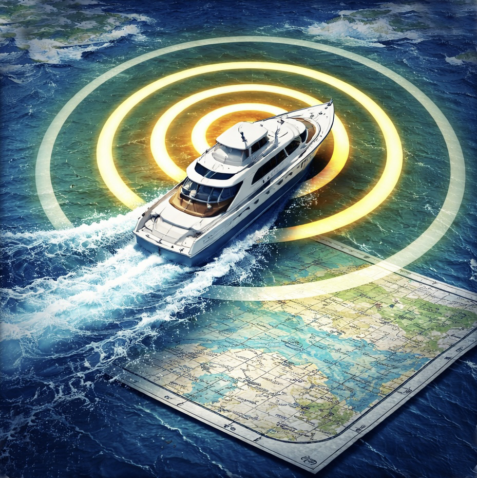
Near Me — Instant Answers

GPS detects your marine zone automatically. See your hailing channel, working channels, weather frequency, and nearest Coast Guard station — before you even look up.

🌤️

Live Conditions

Real-time weather via Apple WeatherKit, 7-day NOAA marine forecast, wave height, swell, sea surface temperature, and live NOAA buoy data — all in one place.

🗺️

Explore All Zones

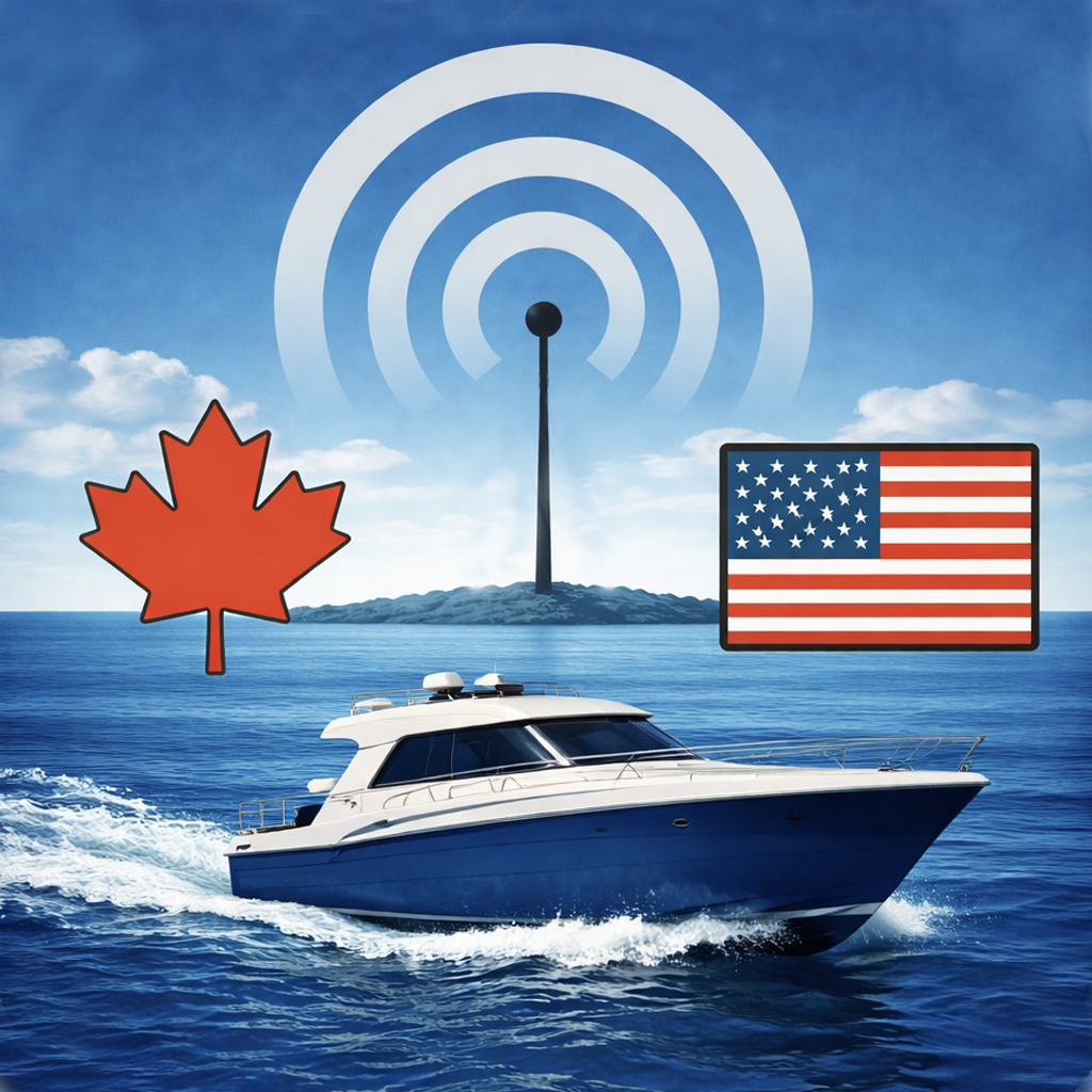
Interactive map of every VHF zone across Canada, the US, and Hawaii. Tap any zone to see its channels, bridges, locks, and marinas. Search any waterway before you leave the dock.

🔒

Bridges & Locks Database

The only app with a structured database of Trent-Severn, Rideau Canal, St. Lawrence Seaway, ICW, and Great Lakes bridges and locks — each with their VHF call channel.

Marinas

Marinas across all covered regions shown on the map with VHF channel, phone, and website. Tap any marina for details.

📡

Coast Guard Stations

USCG and Canadian Coast Guard stations with working channels and coverage areas. Know who to call before you need to.

⚠️

Zone Boundary Warning

Approaching a neighbouring VHF zone? The dashboard alerts you automatically — useful on the Trent-Severn or St. Lawrence where conventions change mid-trip.

📋

Full Channel Reference

All 59 VHF channels with frequencies, US and Canada permissions, simplex/duplex flag, and notes. Includes VDES 2030 transition warnings and the US mode vs International mode explainer for Channel 22.

🌊

NOAA Buoy Network

Live buoy map with water temperature, wave height, wind speed, air pressure, and wave period from the NOAA National Data Buoy Center. Color-coded active/offline status.

🚨

Emergency Procedures

Full MAYDAY script, PAN-PAN, and SÉCURITÉ procedures. Always accessible in the Reference tab — no searching when it matters most.

✈️

Fully Offline

All channel data, zone boundaries, bridges, locks, marinas, and Coast Guard stations are bundled in the app. No cell signal required. Works perfectly on the water.

🏝️

Hawaii Coverage

Full VHF zone coverage for Hawaiian waters including marinas, USCG Station Sand Island, and NOAA weather stations on Maui, Hilo, and Kauai.

Everything a boater needs. Nothing they don't.

MarineRadioMap app icon
MarineRadioMap
iOS 17.0 and later
📍 GPS zone detection — automatic on open, no setup
🇨🇦🇺🇸 Covers all Canadian and US marine regions including Hawaii
✈️ 100% offline — bundled SQLite database, zero network calls for core features
💰 $4.99 one-time purchase — no subscription, no renewal, no ads
🌤️ Live weather via Apple WeatherKit with Open-Meteo fallback
🛟 Data sources: FCC, ISED Canada, NOAA, USCG, CCG, Parks Canada, OpenStreetMap

More apps

See all apps from the same developer.

Visit arcticsurfdesigns.com

Pay once. Use forever.

No subscription, no renewal, no surprises. One purchase unlocks everything.

⚓ MarineRadioMap — Full Access
$4.99

One-time purchase · No subscription · No ads

The price of one Starbucks coffee — but with zero calories.

  • GPS zone detection — hailing, working, weather, Coast Guard
  • All 59 VHF channels with full details
  • 20+ marine zones — Canada, US, and Hawaii
  • Bridges & locks with VHF call channels
  • Marinas and Coast Guard stations
  • Live weather, NOAA forecast, and buoy data
  • Zone boundary proximity warning
  • Emergency procedures (MAYDAY, PAN-PAN, SÉCURITÉ)
  • VDES 2030 transition notes
  • Fully offline — works without cell signal
Download on the App Store

Available on iPhone and iPad · Requires iOS 17.0 or later

Privacy Policy

Last updated: April 2026

MarineRadioMap ("the app") is developed by Arctic Surf Designs. This Privacy Policy explains what information the app collects and how it is used.

1. Information We Collect

MarineRadioMap collects no personal information. The app does not require an account, does not use analytics, and does not transmit any user data to any server.

The following device capabilities are used locally only:

  • Location (GPS) — used on-device to detect your current marine zone and find nearby bridges, locks, and marinas. Your location is never transmitted off your device.
  • Internet (optional) — used only for the live Conditions tab: weather data from Apple WeatherKit, NOAA marine forecast, and NOAA buoy readings. No personal data is included in these requests — only your GPS coordinates are sent to fetch local weather.

2. Third-Party Services

  • Apple WeatherKit — live weather conditions. Governed by Apple's Privacy Policy. Only your location coordinates are sent.
  • Open-Meteo — weather fallback and marine conditions (wave, swell, sea surface temp). Free, open-source API. No personal data sent.
  • NOAA / api.weather.gov — marine forecast and buoy data. US government public API. No personal data sent.

3. Data Storage

All channel data, zone boundaries, bridges, locks, marinas, and Coast Guard stations are bundled in the app as a read-only SQLite database. No user data is stored on any external server. The app stores your unit preference (miles/kilometres) and map style preference locally on your device using standard iOS storage (UserDefaults).

4. Children's Privacy

MarineRadioMap does not collect any personal information and is safe for all ages.

5. Changes to This Policy

Any changes to this Privacy Policy will be reflected here and noted in the app update release notes.

6. Contact

Questions? Contact us at:
arcticsurfdesigns@gmail.com
Arctic Surf Designs · arcticsurfdesigns.com

Support

✉️ Email Support

For bugs, questions, or feature requests, email us directly. We aim to reply within 2 business days.

arcticsurfdesigns@gmail.com

📍 Location Not Detected

Make sure MarineRadioMap has location permission in iPhone Settings → Privacy & Security → Location Services. "While Using" is sufficient.

🌤️ Conditions Tab Not Loading

The Conditions tab requires an internet connection for live data. All other tabs work fully offline. If weather fails to load, try tapping Retry — you may be in a low-signal area.

📡 Wrong Zone Shown

Zone detection is GPS-based using polygon boundaries. If you're very close to a zone boundary the nearest zone is shown. Tap the refresh button in the top right of Near Me to re-detect.

📋 Data Currency

Channel assignments are regulated and change rarely. The current data version and vintage are shown in the Settings tab. Data updates are delivered via app updates.

🔄 Restore Purchase

If you've reinstalled the app, your purchase is tied to your Apple ID. Open the App Store, tap your account, and your purchase history will restore automatically.

Frequently Asked Questions

Does the app work without cell signal?
Yes. All channel data, zone boundaries, bridges, locks, marinas, and Coast Guard stations are bundled in the app. GPS works independently of cellular. Only the Conditions tab (live weather and buoy data) requires internet.
Does it cover my area?
MarineRadioMap covers all major Canadian and US marine boating regions including the Great Lakes, Trent-Severn, Rideau Canal, St. Lawrence Seaway, Atlantic and Pacific coasts, Gulf of Mexico, ICW, and Hawaii.
Is there a subscription?
No. MarineRadioMap is a one-time purchase at $4.99. No recurring charges, no annual renewals, no premium tiers.
What is the VDES 2030 flag on some channels?
Channels 24–26, 84–88 are being phased to digital-only use as part of the VHF Data Exchange System (VDES) transition starting January 2030. The app flags these channels so you're aware. Source: Transport Canada Ship Safety Bulletin 16/2025.
What is US mode vs International mode on Channel 22?
In US waters, set your radio to US mode — Channel 22 becomes 22A (simplex, 157.100 MHz), the standard frequency for contacting the US Coast Guard. In International mode, Channel 22 is duplex. The app explains this in the Channel 22 detail view.
How accurate is the zone detection?
Zone detection uses GPS point-in-polygon testing against regional boundary polygons. It is highly accurate within defined boating regions. Near boundaries, the nearest zone is shown with an appropriate notice.
What iPhone models are supported?
MarineRadioMap requires iOS 17.0 or later. It runs on iPhone and iPad.